Diverse kaarten en overzichtfoto's
(Klik op de plaatjes om ze te vergroten)
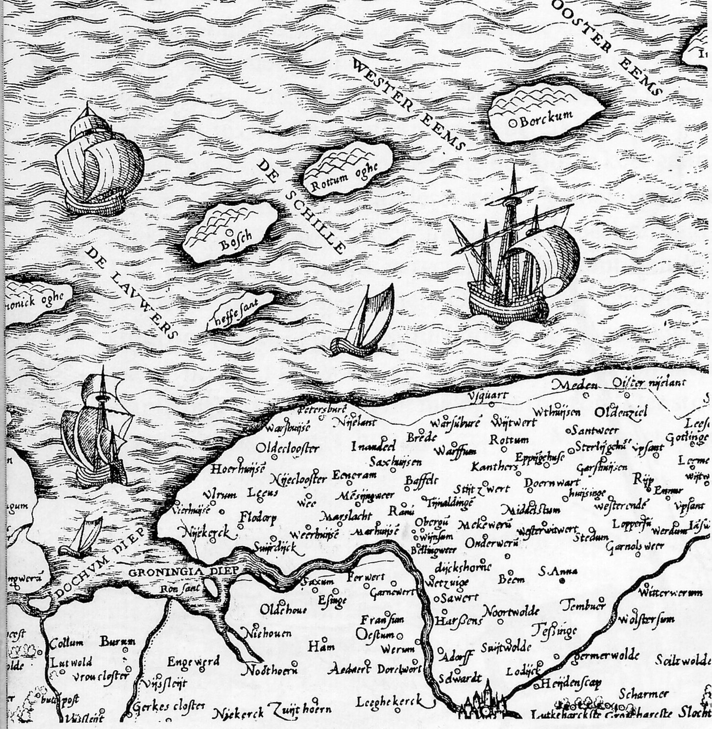
Het oostelijk Waddengebied
![]() Bron: InterWad
Bron: InterWad
Rottumeroog en Rottumerplaat
 Bron: Beleidsvisie SVRR - 1996
Begrenzing van het Nederlands deel van de Waddenzee
 Bron:
Waddenadviesraad (Planologische Kernbeslissing)
Bron:
Waddenadviesraad (Planologische Kernbeslissing)
Luchtfoto Rottumeroog
 Foto: Peter Venema
Luchtfoto's Rottumerplaat

 Foto's: Els en Luuk Knol (23 maart 2003)
Satellietfoto's


 Bron: ESA/NLR
Kaarten van Warffum (inclusief Rottumeroog) en Usquert

 Bron: Historische Gemeenteatlas, 1865
Kaart
 Oud kaartje, nadere gegevens onbekend
Laatste wijziging: woensdag 09 april 2003 20:55:49